09/02/2025
Hurricanes in St. Thomas and St. John
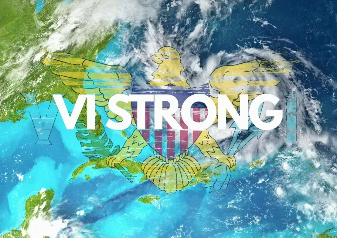
Unique Hurricane History of St. Thomas & St. John, U.S. Virgin Islands
Why this matters (and why you shouldn’t be scared)
If you love St. Thomas and St. John, you’ve probably heard about a few big storms. But the real story is about resilience and steady improvements—stronger building codes, smarter infrastructure, and seasoned communities that prepare well and bounce back. Below is a clear, island-specific timeline with verified dates and impacts, followed by what’s changed to make life and travel more reliable today. (Spoiler: a lot has improved since the 1990s.)
1800s: The early records
1867: San Narciso Hurricane + the famous harbor tsunami
San Narciso Hurricane (Nov. 1867) struck the Virgin Islands; in the same month, an unrelated 7.5 earthquake in the Anegada Passage generated a tsunami in Charlotte Amalie harbor, battering vessels and waterfront areas. The earthquake–tsunami arrived 20 days after the hurricane, compounding damage and earning a permanent place in local lore.
Late-19th-century strikes noted in records
Historic logs list 1871, 1876, 1889, 1894 storms affecting the Territory; for St. Thomas & St. John, these were typical Cape Verde–type systems that passed near or over the northern Leewards.
1899 San Ciriaco—a long-lived Category 4 hurricane—crossed the Leewards and is frequently cited in Virgin Islands history, with nearby islands recording severe impacts.
1900–1980: Quieter decades with occasional hits
1916, 1924 (“Gale of 1924”), 1931, 1932, San Ciprián appears in regional logs for the Virgin Islands.
1960 Donna passed north of the Territory but is still remembered in older St. Thomas households. (Documentation for these early 20th-century storms is thinner but consistent in official lists.)
1989–1999: The modern wake-up call
1989: Hurricane Hugo
While Hugo’s eye wall devastated St. Croix, it also produced major damage territory-wide and was a turning point for preparedness across the USVI, including St. Thomas and St. John.
1995: The Luis–Marilyn one-two punch (St. Thomas & St. John’s benchmark)
Hurricane Luis (early Sept. 1995): a near-miss that still caused damage and primed the Territory.
Hurricane Marilyn (Sept. 15–16, 1995): the defining modern storm for St. Thomas and St. John.
Damage: ~$2.1–$2.3 billion in USVI/PR; ~75–80% of homes and businesses on St. Thomas damaged or destroyed, 10,000–11,000 people left homeless; St. John also suffered heavy wind damage.
Marilyn led directly to stronger building codes and roof standards in the USVI (see “What’s changed” below).
Late-90s follow-ups
1996 Bertha and 1998 Georges: moderate damage on St. Thomas/St. John.
1999 Jose: passed just south; light damage locally.
1999 Lenny (“the wrong-way hurricane”): unusual west-to-east track; St. John gusts up to ~92 mph, localized erosion and park damage; St. Thomas saw minor flooding/mudslides.
2000s–mid-2010s: Brushes and reminders
2010 Earl: tropical-storm to minimal-hurricane effects; brief outages.
2011 Irene: passed nearby; light to modest local impacts. (Both are logged in official lists.)
2017: The Irma–Maria double strike (St. Thomas & St. John front and center)
Sept. 6, 2017: Hurricane Irma (Category 5)
Irma delivered catastrophic wind damage to St. Thomas and St. John—roof failures, downed power, snapped poles, and heavy vegetation loss. The Virgin Islands National Park on St. John documented widespread destruction to trails and historic sites
Sept. 19–20, 2017: Hurricane Maria (Category 5 near the USVI)
Two weeks later, Maria's recovery compounded. While Maria’s eyewall targeted St. Croix, St. Thomas, and St. John still endured additional storm impacts and prolonged outages during an already-strained recovery. FEMA and Congressional assessments classify 2017’s pair as catastrophic for the Territory.
2019–2025: New era, better outcomes
2019 Dorian: eye passed over St. Thomas but produced limited serious damage—a notable contrast with 1995 and 2017 events, reflecting stronger standards and preparedness.
2025 Erin: brought heavy rain and power outages across the Territory; local utilities reported targeted restoration efforts—another modern test of resilience.
What’s different now (and why today’s USVI is more resilient)
1) Stronger building codes & better roofs
Post-Marilyn reforms enhanced wind-resistance requirements. FEMA and territorial officials highlight modern roof connections and integral gutter designs that avoided structural roof damage in surveyed homes—fixes aimed squarely at the failure modes seen in 1995. Ongoing legislative updates continue to align local rules with international codes.
2) Hardening the power grid (WAPA)
Since Irma/Maria, the Virgin Islands Water & Power Authority (WAPA) has been undergrounding critical lines, replacing vulnerable poles, and upgrading substations to cut future outage times on St. Thomas and St. John. Projects in Cruz Bay and across the islands are specifically designed to mitigate hurricane wind damage.
3) Emergency management & park recovery
The Virgin Islands National Park maintains an active recovery and resilience journal, and FEMA established long-term programs in logistics, accessibility, and mitigation after 2017—improving coordination for residents and visitors alike.
Quick reference: Major, well-documented events for St. Thomas & St. John
1867 San Narciso Hurricane → same-month earthquake & tsunami in Charlotte Amalie harbor.
1989 Hugo → territory-wide damage; major modern wake-up call.
1995 Marilyn (after Luis) → catastrophic on St. Thomas/St. John: ~$2B+ damage, ~75–80% of St. Thomas residences affected; pivotal building-code reforms.
1999 Lenny → unusual track; St. John gusts ~92 mph; park damage; light-to-moderate St. Thomas impacts.
2010 Earl / 2011 Irene → glancing blows, modest local effects.
2017 Irma → catastrophic on both islands; 2017 Maria → compounded recovery two weeks later.
2019 Dorian → eye over St. Thomas; no serious damage reported.
2025 Erin → heavy rain, outages; targeted restoration underway.
Smart, non-scary tips for today’s visitors & residents
Know the season: Atlantic hurricane season runs June 1–Nov 30, with the historical peak in Aug–Oct. Monitor the National Hurricane Center and local outlets like the V.I. Source and WTJX for advisories.
Choose resilient stays: Many villas/hotels on St. Thomas and St. John now market hurricane-rated construction and generator/solar backups—ask about roof tie-downs, shutters, and backup power. (Post-Marilyn code culture is strong.)
Pack for pop-up weather: Quick squalls are normal—even outside storms. A compact rain shell, battery pack, and a small first-aid kit are easy, light insurance.
Respect closures: After any event, trails and beaches (especially in Virgin Islands National Park) may close briefly for safety and cleanup—reopenings are typically phased and well-communicated.
Bottom line
St. Thomas and St. John have a long hurricane history—but they also have decades of lessons learned. With tougher building codes, ongoing WAPA undergrounding, and practiced emergency management, the islands are better prepared than ever. Keep an eye on official forecasts in season, support local businesses that invest in resilience, and enjoy the beauty of the USVI with confidence.